OCPP map
Geographic map of managed OCPP stations for dispatch and site context.
Path: /dashboard/maps/ocpp
Sidebar: Charging → OCPP map
The OCPP map plots managed stations that have location data so operators can see the fleet geographically.
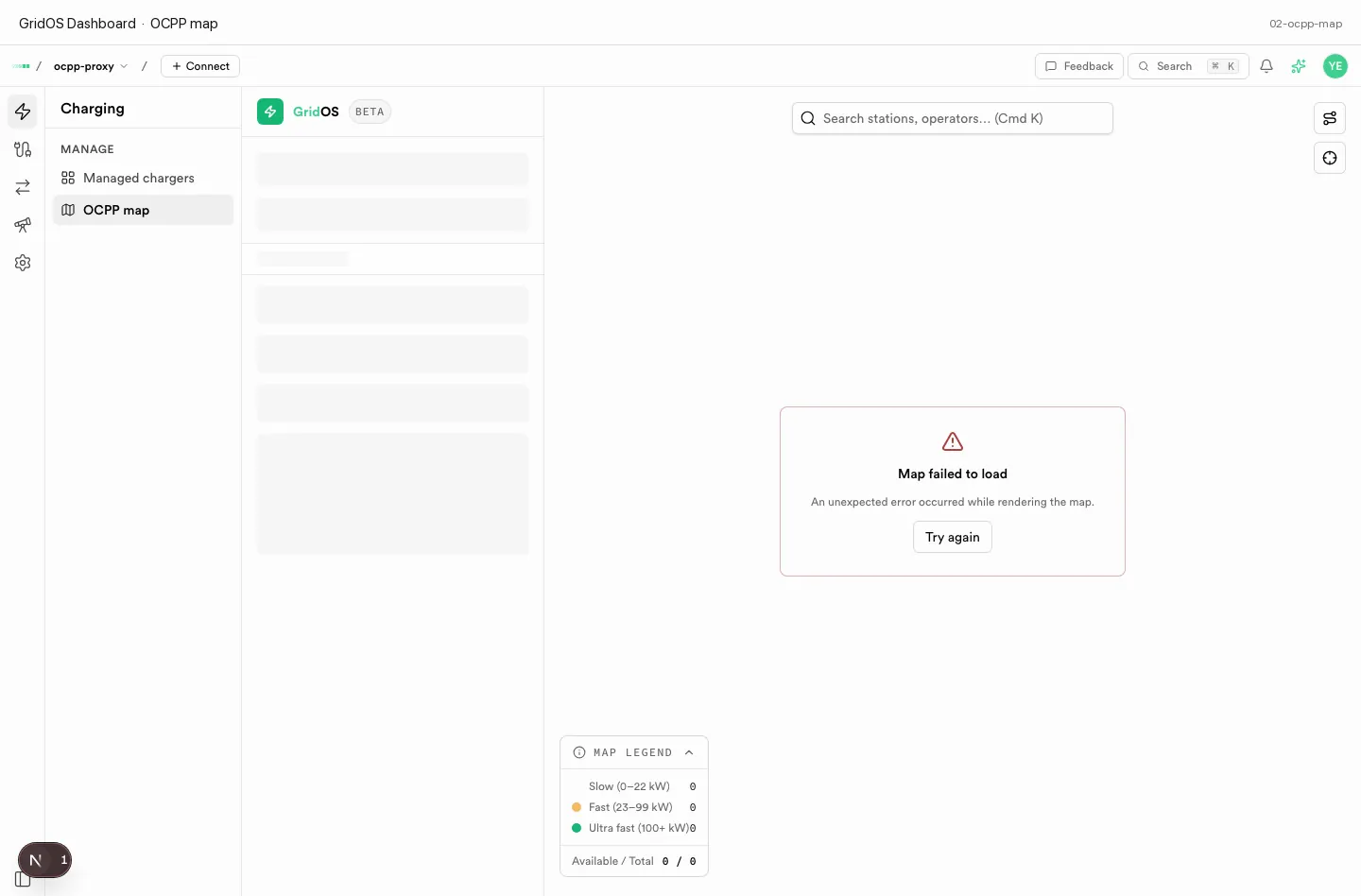
OCPP map — geographic view of managed charge stations.
What you see
| Element | Meaning |
|---|---|
| Map markers | Stations with coordinates from site / location data |
| Selection | Focus a station for ops context |
| Empty / sparse map | Chargers without location stay off the map until you assign a site |
How to use it
- Open OCPP map under Charging.
- Pan and zoom to a region or site.
- Select a station, then open the charger record for sessions, logs, or config.
- Assign Location when creating or editing a charger so new stations appear on the map — see Create a charger.